
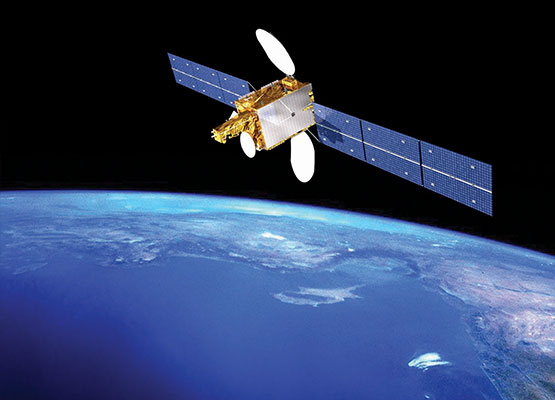
The Space and Upper Atmosphere Research Commission (SUPARCO) has introduced Pakistan's Space-Based Augmentation System, known as Pak-SBAS, to provide more accurate and reliable positioning, navigation and timing services.
According to a SUPARCO spokesperson, the system operates through Pakistan's communication satellite PAKSAT-MM1 and is designed to improve the accuracy and reliability of navigation services.
Earlier this year, SUPARCO demonstrated a Pak-SBAS navigation device at the Cholistan Rally 2026, where it was tested in extreme desert conditions. The agency has said the technology can help disaster response by tracking rescue teams and affected areas, improve fleet management and transport efficiency, support safer aviation navigation, and reduce errors and costs in surveying and mapping.
The launch is seen as a step towards technological self-reliance in satellite-based navigation and builds on Pakistan's recent progress in space, including its second indigenous Earth observation satellite, EO-2, launched in February 2026.


Comments